See Prof. Reinmann’s Google Scholar Page for the most up-to-date list of publications.
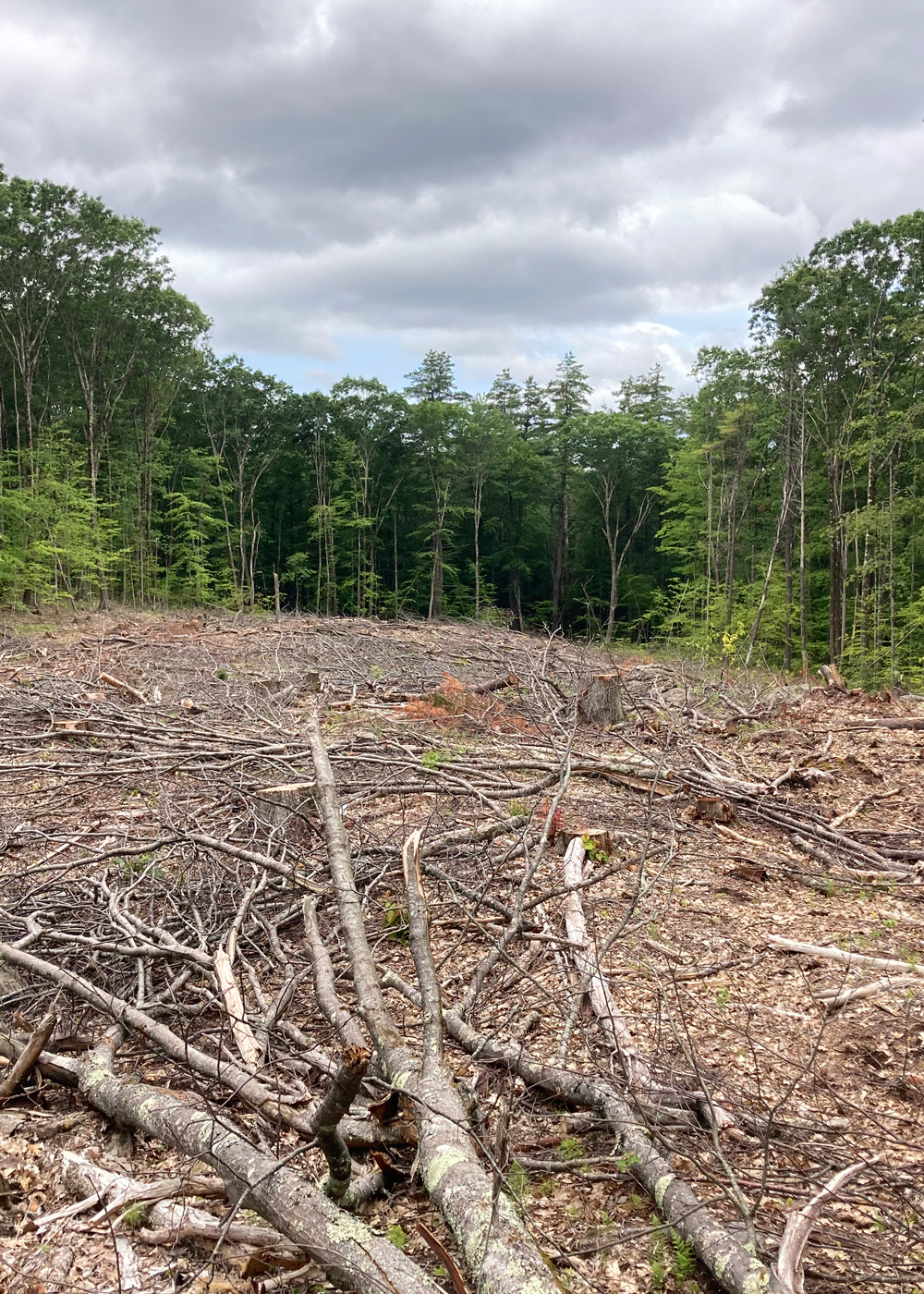
Human-Modified Landscapes

Current Projects
- Spatial and temporal variations in land surface temperature, vegetation and socioeconomic and health characteristics in frontline EEJ neighborhoods in New York City: Integrating Scientific Study with Community Perspectives. NASA (2022-2023).
- CAREER: Interactive effects of land cover and climate change on forest carbon sequestration: Integration of research and education to advance fundamental science and inclusivity. NSF CAREER (2022-2027)
- Mapping, monitoring, and creating urban forested natural areas. US Forest Service (2021-2023)
- Quantifying spatial and temporal variations in urban biogenic C fluxes: Measurements, models and remote sensing from the leaf to the forest scale. National Institute of Standards and Technology (2020-2023)
- Quantifying the impact of biogenic and anthropogenic fluxes on the atmospheric composition of the New York City Metro Area. NOAA (2020-2023)
Recent Projects
- Westchester County Forest Inventory: Mapping and Ecosystem Service Assessment. New York Department of Environmental Conservation Hudson River Estuary Program
- Urban net ecosystem productivity: Solar-induced fluorescence as a tool for productivity? National Institute of Standards and Technology
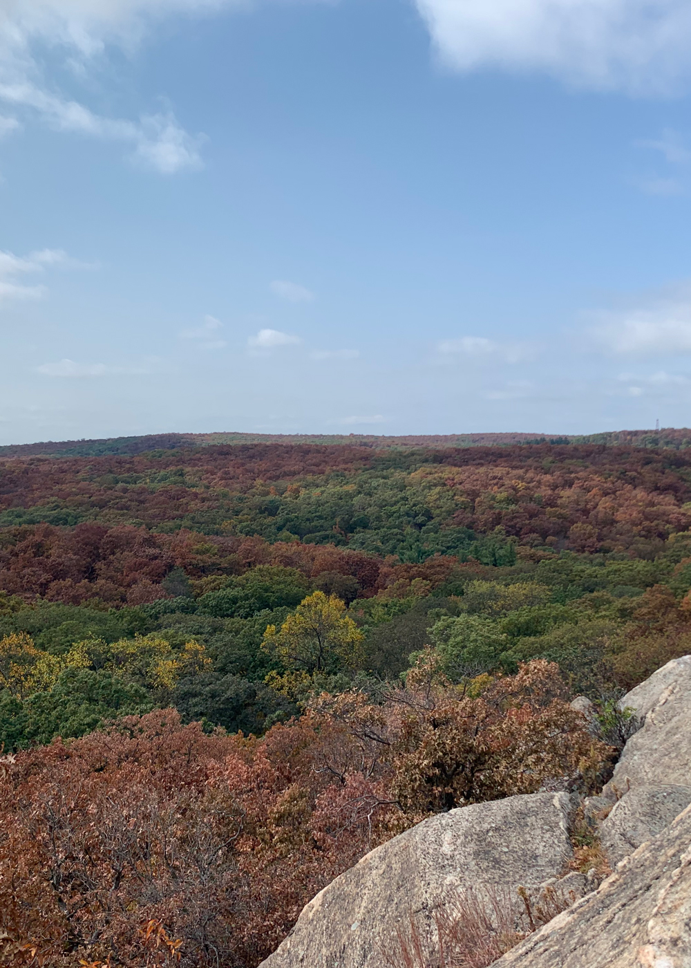
Climate Change

Current Projects
- Leveraging natural gradients in microenvironment to understand interactive effects of changes in climate and forest tree species composition Black Rock Forest David Redden Conservation Science Grant (2020-2023)
- Changing seasonality and nitrogen oligotrophication in the northern hardwood forest. NSF (2020-2023)
- The Climate Change Across Seasons Experiment NSF (Ongoing)
Recent Projects
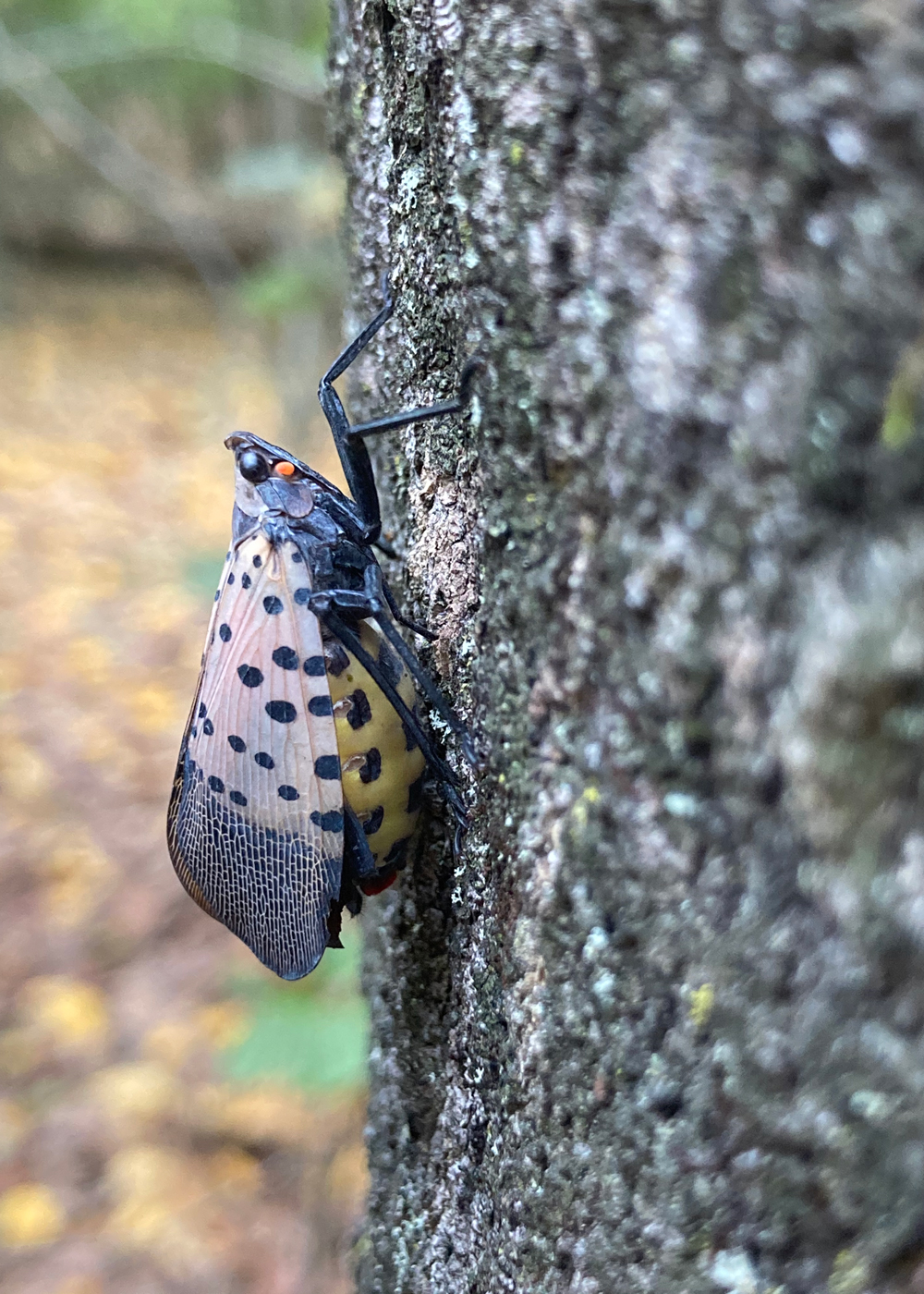
Invasive Species

Current Projects
- Assessing impacts of beech leaf disease on forest structure and composition: towards informing management along a gradient of anthropogenic influence. US Forest Service (2022-2025)
- Mapping spatiotemporal patterns in invasive tree, insect, and pathogen occurrences in the Lower Hudson Valley and New York City. New York State Department of Environmental Conservation (2019-2023)
Recent Projects
- Mapping and monitoring the spatial extent of hemlock woolly adelgid using surface reflectance and radar remote sensing. The Nature Conservancy
- Utilizing high resolution satellite Westchester County Forest Inventory: Mapping and Ecosystem Service Assessment. New York Department of Environmental Conservation Hudson River Estuary Program. e-based multi-spectral surface reflectance analyses for early detection of hemlock woolly adelgid infestations in the Adirondacks. The Fund for Lake George
- Mapping and monitoring the distribution of hemlock woolly adelgid and related hemlock decline in the Catskill Mountain Region of New York using freely-available multispectral remote sensing. Cary Institute of Ecosystem Studies & New York State Department of Environmental Conservation
